ENVIRONMENT CANADA
**************************
Snowfall warning in effect for:
- Bruce Peninsula - Sauble Beach - Tobermory
- Owen Sound - Blue Mountains - Northern Grey County
- Saugeen Shores - Kincardine - Southern Bruce County
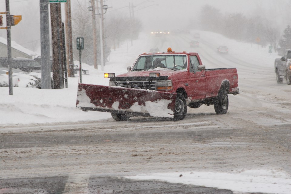
Snowfall with total amounts of 15 to 20 cm is expected.
Lake effect flurries at times heavy continue this evening near Lake Huron and Georgian Bay, but should diminish in intensity during the night.
Snow at times heavy is expected to redevelop by early Monday afternoon and persist into Monday night. Some areas may see snowfall totals exceeding 15 cm by Tuesday morning.
The snow is associated with an Alberta Clipper that will cross the area.
Prepare for quickly changing and deteriorating travel conditions. Surfaces such as highways, roads, walkways and parking lots may become difficult to navigate due to accumulating snow.
Snowfall warnings are issued when significant snowfall is expected.
Extreme Cold Warning in effect for:
- Barrie - Collingwood - Hillsdale
- Midland - Coldwater - Orr Lake
- Orillia - Lagoon City - Washago
- Hanover - Dundalk - Southern Grey County
A period of very cold wind chills is expected.
Wind chill values near minus 30 are expected overnight and into Monday morning.Extreme cold puts everyone at risk.
Dress warmly. Dress in layers that you can remove if you get too warm. The outer layer should be wind resistant.
If it's too cold for you to stay outside, it's too cold for your pet to stay outside.
- Hanover - Dundalk - Southern Grey County
Snowfall with total amounts of about 15 cm is expected.
Snow at times heavy is expected to develop Monday morning or early afternoon and persist into Monday night. Some areas may see snowfall totals near 15 cm by Tuesday morning, although locally higher amounts are possible closer to the Great Lakes.
There will likely be a significant impact on the commute both Monday evening and Tuesday morning in more urban areas.
The snow is associated with an Alberta Clipper that will cross the area.
Prepare for quickly changing and deteriorating travel conditions. Surfaces such as highways, roads, walkways and parking lots may become difficult to navigate due to accumulating snow.
Snowfall warnings are issued when significant snowfall is expected.
Please continue to monitor alerts and forecasts issued by Environment Canada. To report severe weather, send an email to [email protected] or tweet reports using #ONStorm.
**************************


