WEATHER ALERTS
ENVIRONMENT CANADA
********************************
Heat warning in effect for:
• Barrie - Collingwood - Hillsdale
• Orillia - Lagoon City - Washago
Humidex values reaching 40 are expected for the next three days.
Hot and humid conditions continue this week, with high humidex values expected.
Daytime temperatures will reach the high 20s to low 30s Wednesday and Thursday. These high temperatures will combine with high humidity to result in humidex values near 40 each day. High temperatures Friday may also reach the upper twenties with humidex values again approaching 40.
Warm temperatures above 20 degrees each night will provide little relief from the heat.
Cooler and less humid air is expected to arrive Friday or by this weekend.
Hot and humid air can also bring deteriorating air quality and can cause the Air Quality Health Index to approach the high risk category.
Extreme heat affects everyone.
The risks are greater for young children, pregnant women, older adults, people with chronic illnesses and people working or exercising outdoors.
Drink plenty of water even before you feel thirsty and stay in a cool place.
Reduce your heat risk. Schedule outdoor activities during the coolest parts of the day.
Seek a cool place such as a tree-shaded area, swimming pool, shower or bath, or air-conditioned spot like a public building.
Please continue to monitor alerts and forecasts issued by Environment Canada. To report severe weather, send an email to [email protected] or tweet reports using #ONStorm.
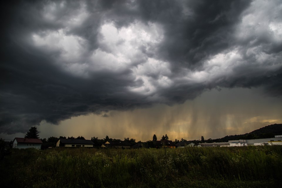
Severe thunderstorm watch in effect for:
• Barrie - Collingwood - Hillsdale
• Midland - Coldwater - Orr Lake
• Orillia - Lagoon City - Washago
Conditions are favourable for the development of severe thunderstorms this afternoon into this evening.
These thunderstorms will be capable of producing strong wind gusts up to 90 km/h and locally heavy rainfall of 50 mm within one hour.
Strong wind gusts can toss loose objects, damage weak buildings, break branches off trees and overturn large vehicles. Heavy downpours can cause flash floods and water pooling on roads. Lightning kills and injures Canadians every year. Remember, when thunder roars, go indoors!
Severe thunderstorm watches are issued when atmospheric conditions are favourable for the development of thunderstorms that could produce one or more of the following: large hail, damaging winds, torrential rainfall.
The Office of the Fire Marshal and Emergency Management recommends that you take cover immediately if threatening weather approaches.
Please continue to monitor alerts and forecasts issued by Environment Canada. To report severe weather, send an email to [email protected] or tweet reports using #ONStorm.
********************************


