Grey Sauble Conservation Authority has recently begun offering report cards on the sub-watersheds within its district.
“Just recently, Grey Sable completed the first one, for Bothwell Creek, which is the smaller watershed between Owen Sound and the municipality of Meaford,” said Cathy Little, chair of the board of directors for Grey Sauble Conservation Authority.
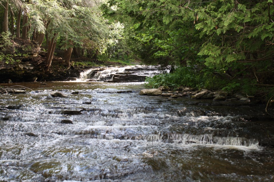
Grey Sauble consists of five major watersheds and many smaller watersheds, which all outlet into Lake Huron and the Georgian Bay.
A watershed report card has been conducted every five years on the major watersheds within Grey Sauble. Each report looking at a variety of aspects that impact watershed health, including - tree cover, water chemistry, E. coli levels, quality of surface water, and wetland coverage.
"What they're doing is identifying where there may be challenges and where there could be some stewardship done. This is a way of narrowing down the focus and putting your attention where it needs to be,” Little explained during a recently held Grey Highlands council meeting.
Grey Sauble began conducting watershed report cards in 2003 in collaboration with Conservation Ontario and other conservation authorities.
The most recent watershed report for Grey Sauble was conducted in 2018.
The report outlines the watershed concerns in three areas: surface water quality, forest conditions and wetland conditions.
For surface water quality a grade of excellent or good was reported in 2018. Lower grades were typically due to poor forest cover and poor treed riparian areas.
Forest conditions take into account forest cover, forest interior conditions, and stream edges. Grades for forest conditions in Grey Sauble were generally good or excellent. However, areas with intensive agriculture earned a lower score.
When analyzing wetland conditions, the percentage of wetland cover is measured. Most larger watersheds score well. Drainage improvements from agriculture operations is noted to have the greatest impact on wetland coverage.
“The watersheds in our immediate area would be the upper Beaver River, which feeds into Lake Eugenia, and then the Boyne River and the lower Beaver River. And, I think Mill Creek is also part of that,” Little said.
In the 2018 report card, the Little Beaver River holds one of the worst scores in the conservation area, scoring a ‘D’ or poor for forest cover; an ‘F’ or very poor for wetland conditions; and a ‘C’ or fair for surface water quality.
At the community level, Grey Sauble suggests improvements can be made by promoting low-impact development, supporting initiatives that monitor water quality and supporting local sub-watershed studies.
“Municipal councils are encouraged to experience a presentation from staff to target a sub-watershed in their municipality,” Little added.
As an individual, the conservation authority suggests considering:
- Planting native species
- Learning about invasive species
- Decommissioning unused wells
- Inspecting and pump septic systems every three to five years
- Avoid dumping anything down roadside catch basins
- Conserving water
- Reducing the use of chemicals, pesticides, fertilizers
- Keeping recreational areas clean


