ENVIRONMENT CANADA
**************************
Snow squall warning in effect for:
- Barrie - Collingwood - Hillsdale
- Midland - Coldwater - Orr Lake
- Orillia - Lagoon City - Washago
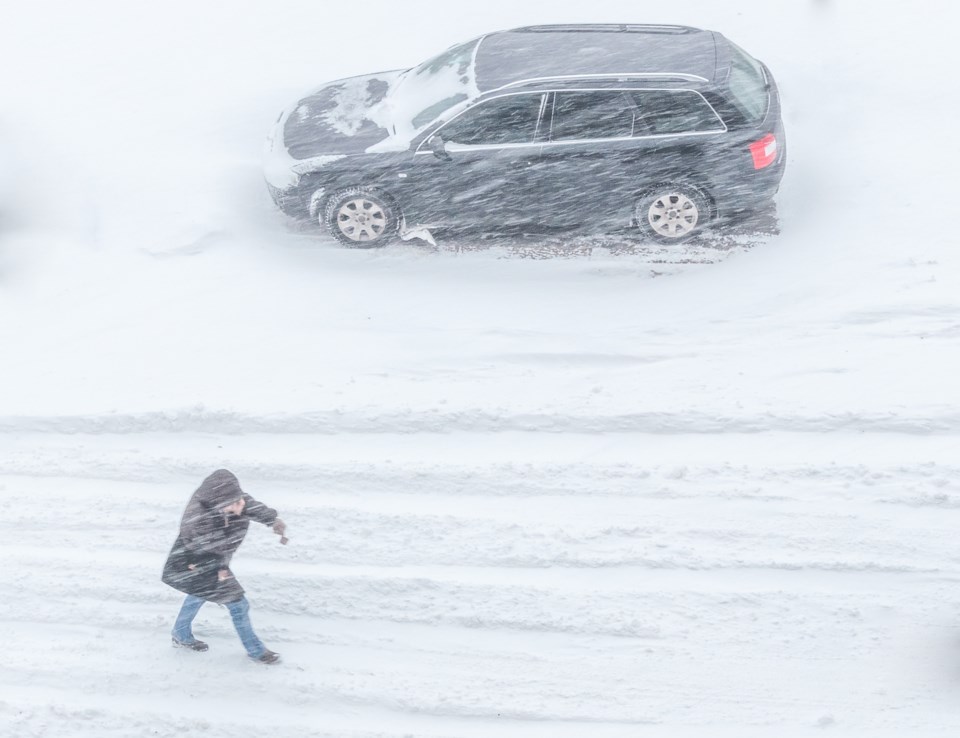
Snow squalls today.
Snow squalls have developed in the northwesterly flow off Georgian Bay. Local snowfall amounts of 10 to 15 cm are likely.
Under the the strongest snow squalls, visibilities will be significantly reduced due to the heavy snow combined with blowing snow, and snow will quickly accumulate.
Prepare for quickly changing and deteriorating travel conditions. Visibility will be suddenly reduced to near zero at times in heavy snow and blowing snow. If visibility is reduced while driving, slow down, watch for tail lights ahead and be prepared to stop.
Snow squall warning in effect for:- Bruce Peninsula - Sauble Beach - Tobermory
- Owen Sound - Blue Mountains - Northern Grey County
Snow squalls today.
Snow squalls have developed in the northwesterly flow off Lake Huron. Local snowfall amounts of 15 cm are likely.
Locations impacted include: Wiarton, Pike Bay, Red Bay, Hogg and Morley.
Under the the strongest snow squalls, visibilities will be significantly reduced due to the heavy snow combined with blowing snow, and snow will quickly accumulate.
Visibility will be suddenly reduced to near zero at times in heavy snow and blowing snow. Travel is expected to be hazardous due to reduced visibility in some locations. If visibility is reduced while driving, slow down, watch for tail lights ahead and be prepared to stop. Rapidly accumulating snow could make travel difficult over some locations.
Snow squall watch in effect for:
- Saugeen Shores - Kincardine - Southern Bruce County
Snow squalls are possible today.
Westerly winds continue to generate off lake flurries this morning. The winds will become northwesterly late this morning and snow squalls are expected to become more organized.
Total snowfall amounts of 10 to 20 cm are possible by this evening for areas under the most persistent snow bands.
Travel may be hazardous due to sudden changes in the weather. Surfaces such as highways, roads, walkways and parking lots may become difficult to navigate due to accumulating snow.
Snow squall watches are issued when conditions are favourable for the formation of bands of snow that could produce intense accumulating snow or near zero visibilities.
**************************

