NEWS RELEASE
THE NOTTAWASAGA VALLEY CONSERVATION AUTHORITY
*************************
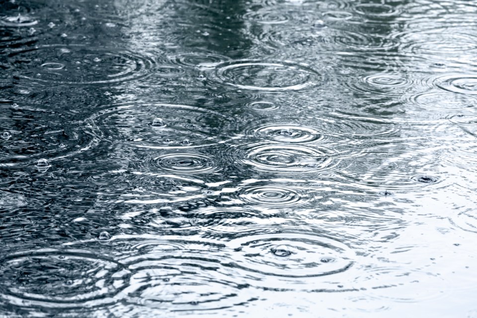
The Nottawasaga Valley Conservation Authority advises that a rainfall warning has been issued for our watershed.
Rain accumulation of 25 to 50 mm is possible by Friday evening, resulting in the potential for localized flooding in low lying areas and elevated flows in all watercourses.
As forecasted by the Ministry of Natural Resources and Forestry Surface Water Monitoring Centre, 25 to 50 mm of rain is expected. Additional rainfall may be observed if thunderstorms occur.
Rain is forecast to begin Thursday afternoon, and may continue through Saturday. The forecasted rain in combination with existing wet or frozen conditions will result in elevated flows on all watercourses for the next few days.
Most of the snow and ice cover has melted, though some ice remains on slow moving water bodies such as lakes. Flooding may occur in low lying areas, however no major flooding is anticipated.
Hazardous conditions exist around all waterbodies, as there is a high risk of lifethreatening injury if a person falls into the cold, fast-flowing water. The public and especially children are advised to stay away from all waterbodies.
The Nottawasaga Valley Conservation Authority continues to monitor river and stream conditions and will issue additional messages as conditions warrant.
This Watershed Condition Statement will be in effect until 12:00 p.m., Tuesday April 23, 2019. For additional information, please call 705-424-1479 and select option “1” for the flood information line or check our website at: www.nvca.on.ca
**************************


