WEATHER ALERT
ENVIRONMENT CANADA
*************************
Extreme Cold Warning in effect for:
- Barrie - Collingwood - Hillsdale
- Midland - Coldwater - Orr Lake
- Orillia - Lagoon City - Washago
Blast of cold Arctic air reaches southern Ontario later tonight.
Hazard:
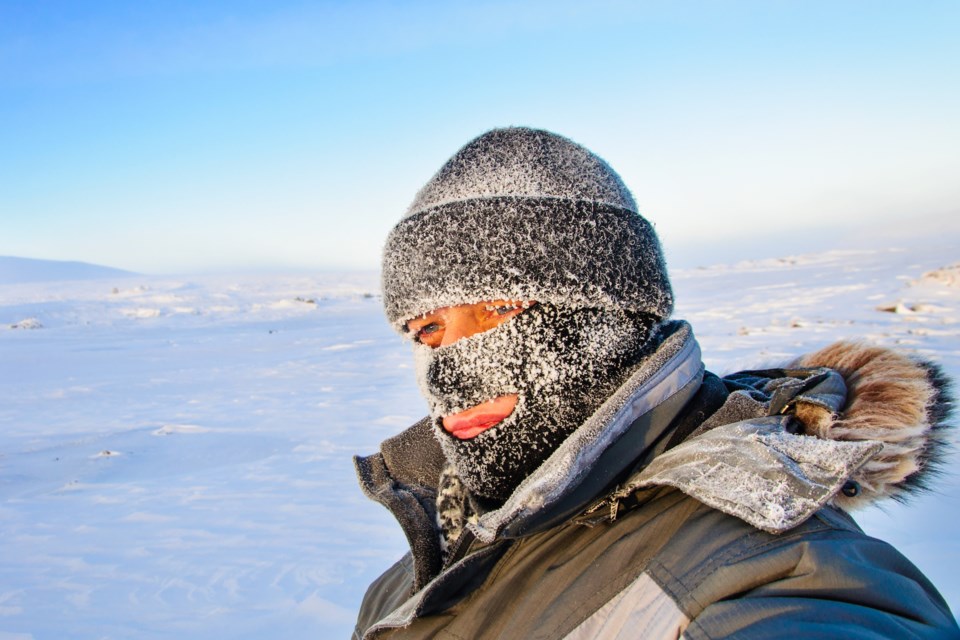
Wind chill values of minus 35 to minus 40.
Timing:
Tonight into Friday morning and again Friday night into Saturday morning.
Discussion:
In the wake of a strong cold front, wind chills are expected to reach minus 35 to minus 40 tonight into Friday morning. After moderating during the day Friday, wind chills are again forecast to reach minus 35 to minus 40 Friday night into Saturday morning.
Risks are greater for young children, older adults, people with chronic illnesses, people working or exercising outdoors, and those without proper shelter.
Dress warmly. Dress in layers that you can remove if you get too warm. The outer layer should be wind resistant.
Cover up. Frostbite can develop within minutes on exposed skin, especially with wind chill.
If it's too cold for you to stay outside, it's too cold for your pet to stay outside.
Extreme cold warnings are issued when very cold temperatures or wind chill creates an elevated risk to health such as frost bite and hypothermia.
Please continue to monitor alerts and forecasts issued by Environment Canada. To report severe weather, send an email to [email protected] or tweet reports using #ONStorm.
*****
Snow squall watch in effect for:
- Barrie - Collingwood - Hillsdale
- Midland - Coldwater - Orr Lake
- Orillia - Lagoon City - Washago
Brief, intense snowfall is expected to develop. Under the snow squall, visibilities will be significantly reduced due to the heavy snow combined with blowing snow.
Hazards:
Sudden whiteout conditions in heavy snow and blowing snow.
Snowfall accumulations of 2 to 5 cm in an hour or two.
Wind gusts of 50 to 70 km/h.
Timing:
This afternoon into early this evening.
Discussion:
A brief but intense snow squall, associated with a fast moving arctic cold front will push southeastward across southern Ontario this afternoon through early this evening. Heavy snow will combine with gusty northwesterly winds to give near zero visibility at times. Plunging temperatures in the wake of this front will usher in the coldest air of the season thus far.
Snow squalls cause weather conditions to vary considerably; changes from clear skies to heavy snow within just a few kilometres are common. Travel may be hazardous due to sudden changes in the weather. Visibility may be significantly and suddenly reduced to near zero.
Please continue to monitor alerts and forecasts issued by Environment Canada. To report severe weather, send an email to [email protected] or tweet reports using #ONStorm.
*************************


