ENVIRONMENT CANADA
*************************
Rainfall warning in effect for:
- Barrie - Collingwood - Hillsdale
- Midland - Coldwater - Orr Lake
- Orillia - Lagoon City - Washago
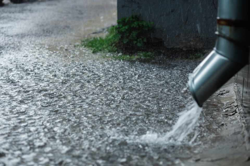
Significant rainfall expected through Thursday afternoon.
Showers and isolated thunderstorms are expected to continue today before moving out Thursday.
Total rainfall amounts of 75 to 100 mm are expected by early Thursday afternoon with a few areas possibly reaching 125 mm.
This widespread rainfall event is due to a cold front and a moisture laden low pressure system that will arrive from the American midwest.
For information concerning flooding, please consult your local Conservation Authority or Ontario Ministry of Natural Resources and Forestry District office. Visit Ontario.ca/floods for the latest details.
Heavy downpours can cause flash floods and water pooling on roads. If visibility is reduced while driving, turn on your lights and maintain a safe following distance. Localized flooding in low-lying areas is possible.
Rainfall warnings are issued when significant rainfall is expected.
Please continue to monitor alerts and forecasts issued by Environment Canada. To report severe weather, send an email or tweet reports using #ONStorm.


